Mappe di Szentlőrinckáta
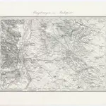 1873|Militärgeographisches Institut1:144 000
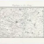
 1873|Militärgeographisches Institut1:144 000
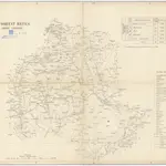 18401:290 000
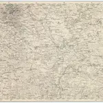 1873|Militärgeographisches Institut1:300 000
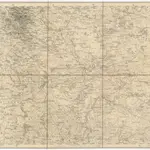 1873|Militärgeographisches Institut1:300 000
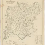 18401:280 000
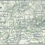 18481:2 775 000
Vecchie mappe di Szentlőrinckáta
Scoprite il passato di Szentlőrinckáta sulle mappe storiche
Vecchie mappe di Szentlőrinckáta
Scoprite il passato di Szentlőrinckáta sulle mappe storiche
Alla ricerca di un Alternativa all'API di Google Maps?