Project
Community
News
My App
My maps
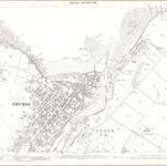
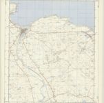
Caithness-shire, Sheet 005.11 - 25 Inch Map
1904
Ordnance Survey
1:3k
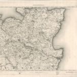
Caithness-shire Sheet V - OS 6 Inch map
1938
Ordnance Survey
1:11k
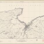
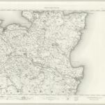
Caithness-shire Sheet V - OS 6 Inch map
1904
Ordnance Survey
1:11k
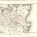
Caithness, Sheet V - OS 6 Inch map
1872
Ordnance Survey
1:11k
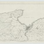
ND16 & Parts of ND17 - OS 1:25,000 Provisional Series Map
1938
Ordnance Survey
1:25k
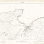
Wick - OS One-Inch map
1909
Ordnance Survey
1:63k
Wick - OS One-Inch map
1894
Ordnance Survey
1:63k
Wick - OS One-Inch map
1872
Ordnance Survey
1:63k
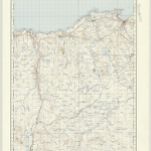
Thurso & Reay (11) - OS One-Inch map
1947
Ordnance Survey
1:63k
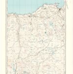
Thurso & Reay (11) - OS One-Inch map
1928
Ordnance Survey
1:63k
History
Old maps of Thurso
Discover the past of Thurso on historical maps
Old maps of Thurso
Discover the past of Thurso on historical maps
Explore Maps
Discover History
Parent places
Scotland
Related places