Project
Community
News
My App
My maps
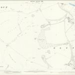
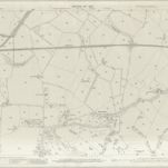
Sussex LIV.15 (includes: Glynde; Ringmer; South Malling Without) - 25 Inch Map
1908
Ordnance Survey
1:3k
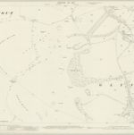
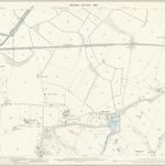
Sussex LIV.15 (includes: Glynde; Ringmer; South Malling Without) - 25 Inch Map
1898
Ordnance Survey
1:3k
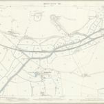
Sussex LXVII.3 (includes: Beddingham; Glynde; South Malling Without) - 25 Inch Map
1908
Ordnance Survey
1:3k
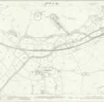
Sussex LXVII.3 (includes: Beddingham; Glynde; South Malling Without) - 25 Inch Map
1898
Ordnance Survey
1:3k
Sussex LIV.SE - OS Six-Inch Map
1908
Ordnance Survey
1:11k
Sussex LIV.SE - OS Six-Inch Map
1897
Ordnance Survey
1:11k
Sussex LXVII.NE - OS Six-Inch Map
1908
Ordnance Survey
1:11k
Sussex LXVII.NE - OS Six-Inch Map
1898
Ordnance Survey
1:11k
Sussex LXVII.4 (includes: Beddingham; West Firle) - 25 Inch Map
1908
Ordnance Survey
1:3k
Sussex LXVII.4 (includes: Beddingham; West Firle) - 25 Inch Map
1898
Ordnance Survey
1:3k
History
Old maps of Glynde
Discover the past of Glynde on historical maps
Old maps of Glynde
Discover the past of Glynde on historical maps
Explore Maps
Discover History
Parent places
Lewes (UK Parliament constituency)
Related places