Maps of Glenville, Cleveland
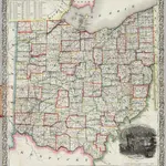 1853|Thayer, Horace & Co.1:570 240
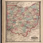 1874|Hardesty, H.H.
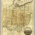
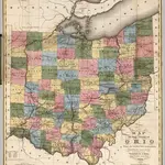 1831|Kilbourne, J.1:950 000
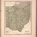 1845|Breese, Samuel1:1 400 000
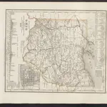 1860|Meyer, J.
 1825|Platt, Hiram1:1 964 160
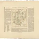 1825|im Verlage des Geographischen Instituts1:1 720 000
Old maps of Glenville, Cleveland
Discover the past of Glenville, Cleveland on historical maps
Old maps of Glenville, Cleveland
Discover the past of Glenville, Cleveland on historical maps
Looking for a Google Maps API Alternative?