Project
Community
News
My App
My maps
Maps of Cuckfield
Advanced search
All
Private
Favorites
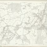
Sussex XXVI.10 (includes: Cuckfield; Haywards Heath) - 25 Inch Map
1874|Ordnance Survey
1:2 500
Sussex XXVI - OS Six-Inch Map
1874|Ordnance Survey
1:10 560
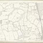
Sussex XXVI.6 (includes: Cuckfield; Cuckfield Rural; Haywards Heath; Lindfield; Lindfield Rural) - 25 Inch Map
1873|Ordnance Survey
1:2 500
9. Brighton.
1861|Great Britain. Board of Ordnance
1:63 360
Booty's hunting map & environs of Brighton
1863|Booty and Booty
1:123 000
Map of the county of Sussex
1829|Greenwood, John, 1791-1867
1:200 000
A Pocket Topography and Gazetteer of England. ... Illustrated by maps of the English counties, and vignettes of cathedrals, etc
1842|PIGOT, James AND CO
1600
1650
1700
1750
1800
1850
1900
1950
2000
History
Old maps of Cuckfield
Discover the past of Cuckfield on historical maps
Old maps of Cuckfield
Discover the past of Cuckfield on historical maps
Explore Maps
Discover History
Parent places
West Sussex
Related places
© MapTiler
© OpenStreetMap