Maps of Brede, Denmark
 1871|Ordnance Survey1:2 500
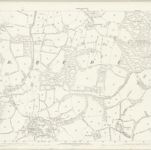
 1872|Ordnance Survey1:10 560
 1872|Ordnance Survey1:10 560
 1862|LEWIN, Thomas Barrister-at-Law
 1862|Great Britain. Board of Ordnance1:63 360
 1864|Great Britain, Ordnance Survey Office1:63 360
 1829|Greenwood, John, 1791-18671:200 000