Project
Community
News
My App
My maps
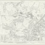
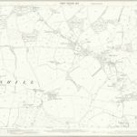
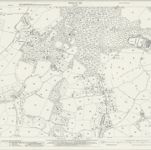
Sussex LXX.3 (includes: Bexhill) - 25 Inch Map
1939
Ordnance Survey
1:3k
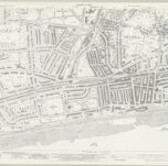
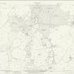
Sussex LXX.3 (includes: Bexhill) - 25 Inch Map
1928
Ordnance Survey
1:3k
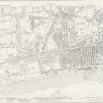
Sussex LXX.3 (includes: Bexhill) - 25 Inch Map
1908
Ordnance Survey
1:3k
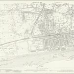
Sussex LXX.3 (includes: Bexhill) - 25 Inch Map
1897
Ordnance Survey
1:3k
Sussex LXX.3 (includes: Bexhill) - 25 Inch Map
1873
Ordnance Survey
1:3k
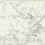
Sussex LXX.7 (includes: Bexhill) - 25 Inch Map
1940
Ordnance Survey
1:3k
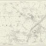
Sussex LXX.7 (includes: Bexhill) - 25 Inch Map
1928
Ordnance Survey
1:3k
Sussex LXX.7 (includes: Bexhill) - 25 Inch Map
1908
Ordnance Survey
1:3k
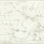
Sussex LXX.2 (includes: Bexhill) - 25 Inch Map
1940
Ordnance Survey
1:3k
Sussex LXX.2 (includes: Bexhill) - 25 Inch Map
1928
Ordnance Survey
1:3k
History
Old maps of Bexhill-on-Sea
Discover the past of Bexhill-on-Sea on historical maps
Old maps of Bexhill-on-Sea
Discover the past of Bexhill-on-Sea on historical maps
Explore Maps
Discover History
Parent places
East Sussex
Related places