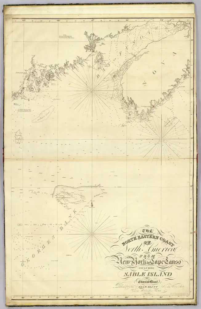
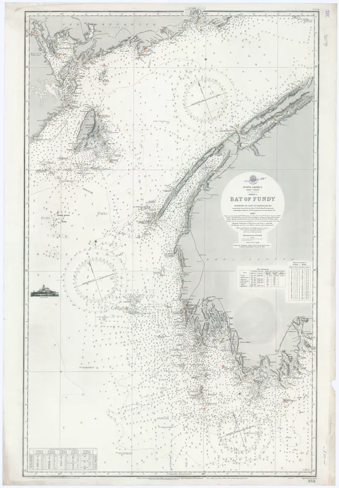
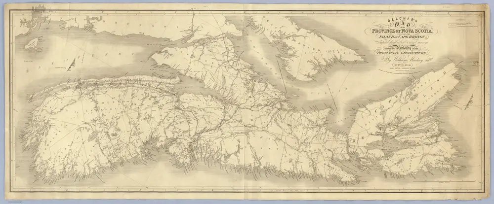
Old maps of Annapolis County, Nova Scotia
Discover the past of Annapolis County, Nova Scotia on historical maps
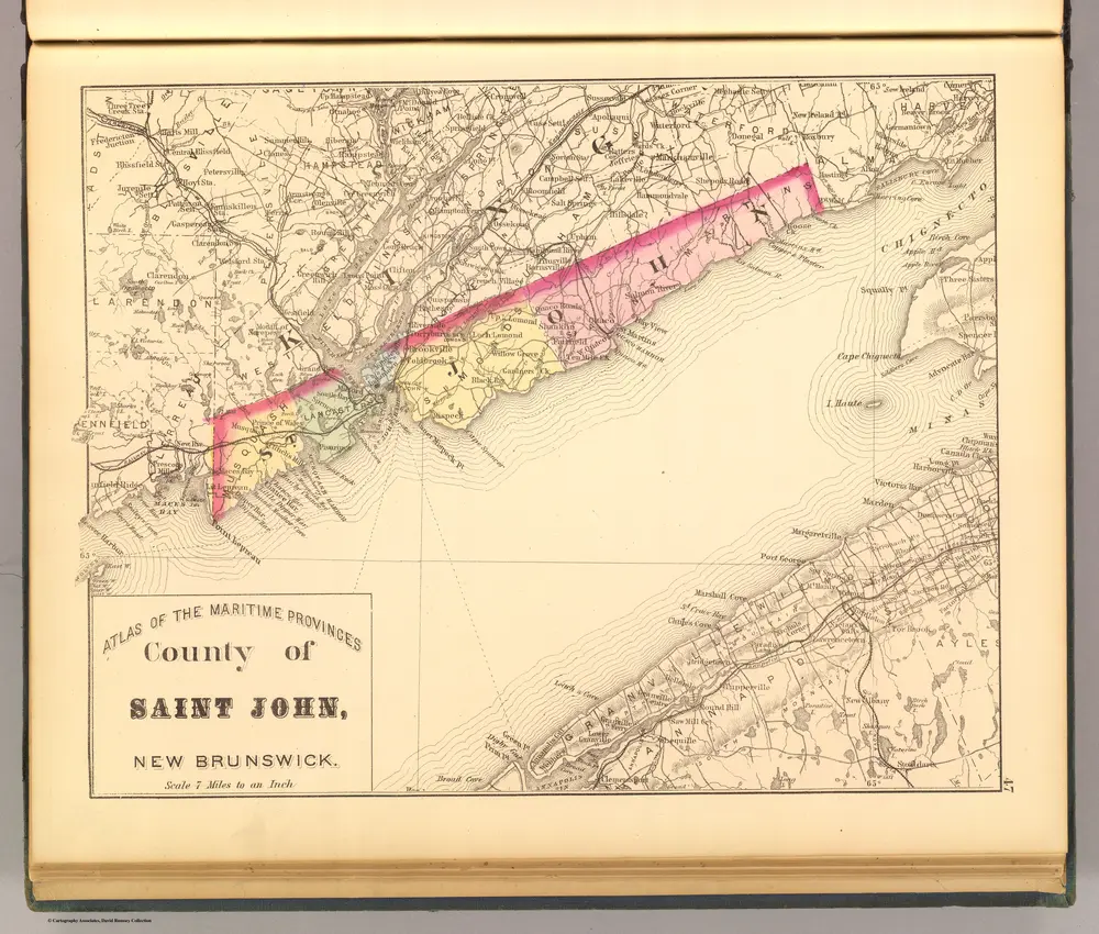
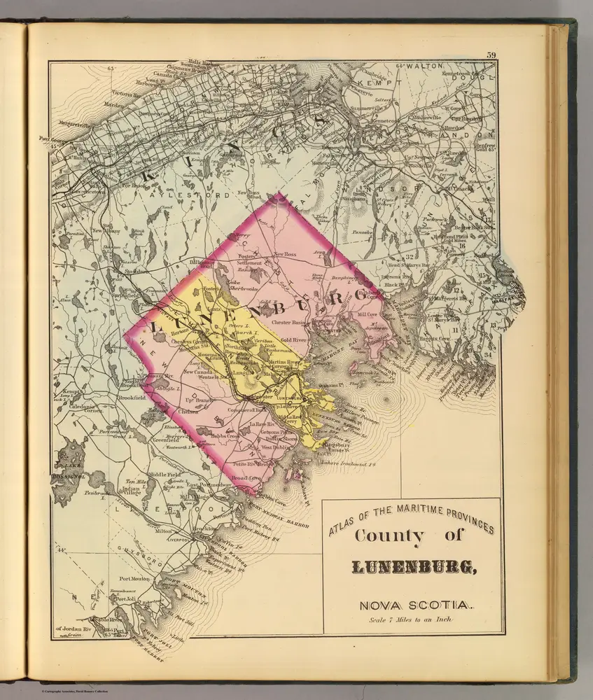
Old maps of Annapolis County, Nova Scotia
Discover the past of Annapolis County, Nova Scotia on historical maps
Looking for a Google Maps API Alternative?